QGIS for Land Surveyors and Civil Designers
In need for visualizing and analyzing some geodata, but you don’t know how? This book is a perfect start to learn QGIS from scratch, but it doesn’t bother you with complicated analyzes or processes. Ideal for the land surveyor, civil designer, landscaper or related professional who occasionally is in need for a little GIS.
This book is also available in Dutch.
Not everyone is a skilled data analyst. Yet sometimes you want to be able to present certain geo-data. Or during your work you find out that it can be quite useful to know something about GIS.
This book will get you started in understanding and visualizing geo-data. How to enrich and manipulate it. For example, merging tables based on matching data. Or combining objects with overlapping locations. Generating buffers and filtering objects. Reading data sources using an online or offline method. You will learn about concepts such as WFS, WMTS and ATOM. You will search for available sources around the world.
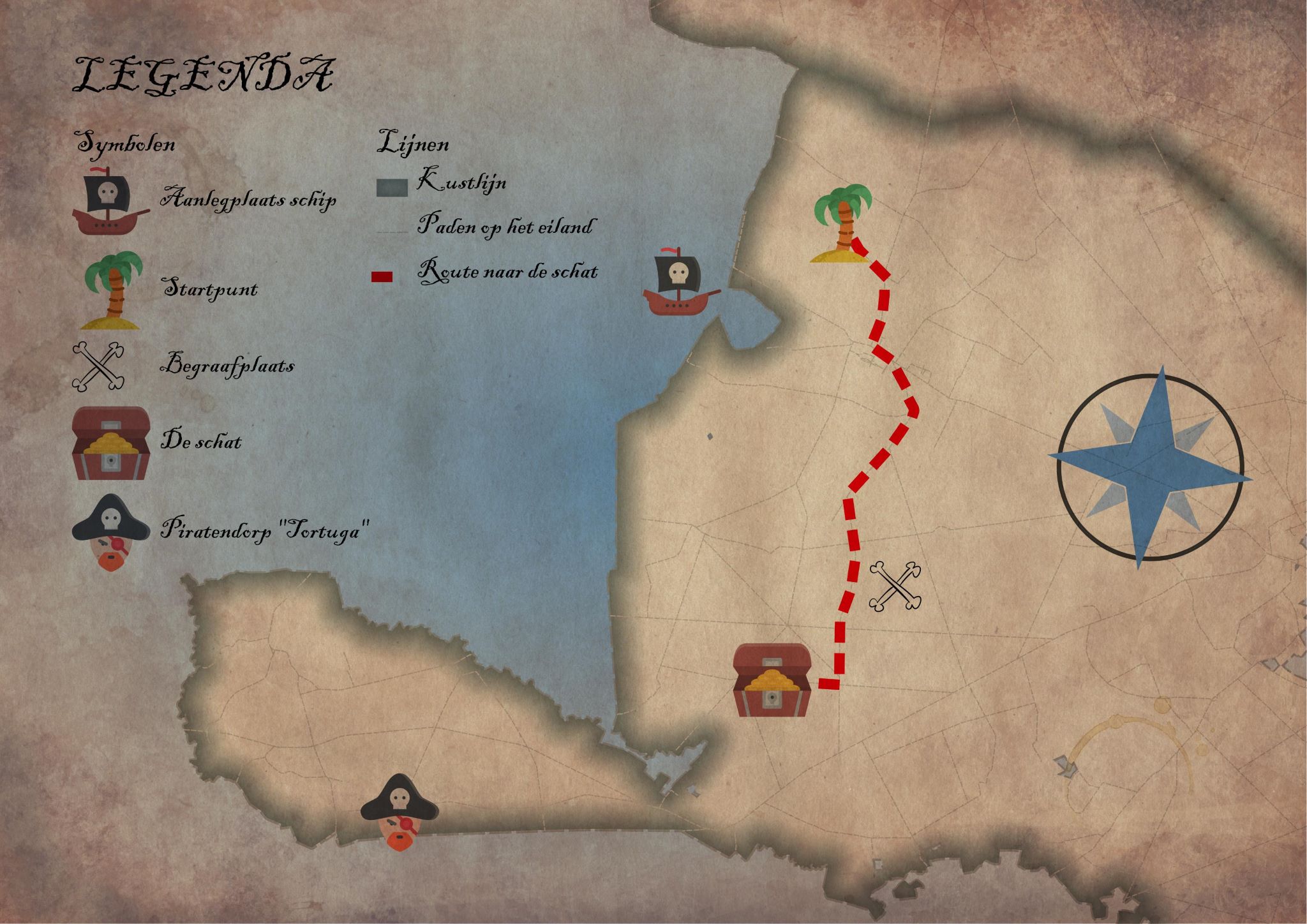
Working with raster data or vector data is no problem in QGIS. As is projecting to the various coordinate systems. Data tables without geometry and with geometry can be combined perfectly. You learn to execute queries and expressions on the data. You will create layouts with a legend, north arrow and crosshairs. With help of clear examples you will explore the possibilities of QGIS. There are no simple methods, but there are countless functions and possibilities that can be applied to any project. Sometimes in a different order, sometimes with a different purpose.
You’ll find out how far your creativity goes. And you’ll love it!
Do you want to download the dataset? Check it out here.


